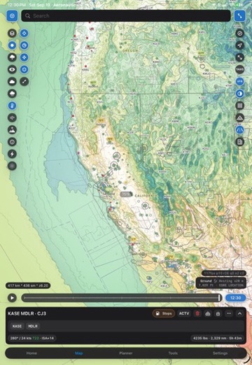
Public land context
Understand the land around a destination and the boundaries that matter before the wheels are down.
The country below the route is part of the flight. Aeronautic brings detailed topography, relief, aviation charts, and the places pilots care about into one map experience.
Built for context. We are extending the aviation map beyond the airport diagram so a pilot can understand the terrain, land, and access around the destination.
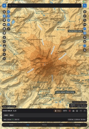
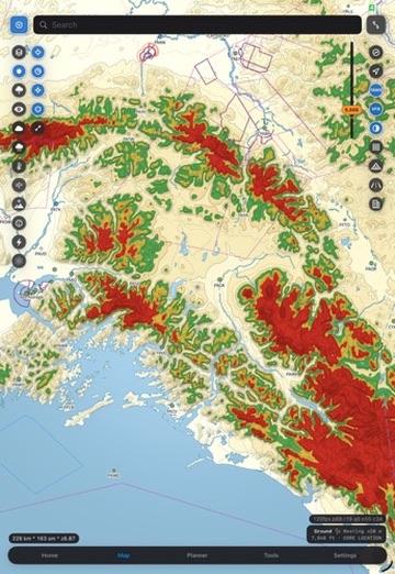
Contours, relief, aviation chart texture, and altitude-relative terrain coloring turn the map into a readable picture of the country, not just a line between two airports.
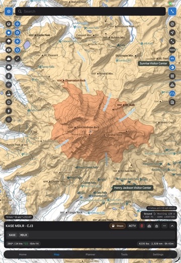
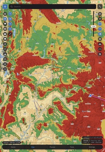
The backcountry map direction includes the context pilots need on the ground: trails, campgrounds, public-land boundaries, and other points of interest. Coverage, freshness, and web availability will be made explicit as each layer comes online.
Understand the land around a destination and the boundaries that matter before the wheels are down.
Put the useful ground references near the airstrip instead of making a pilot search a second map.
Connect runway, terrain, route, and ground access in one view so the plan survives contact with the destination.
Direction, not a coverage promise. These layers are part of the product direction. We will identify source, coverage, freshness, and platform before describing any one layer as complete.
The same terrain system can support the sectional view, the IFR view, and a more realistic relief presentation. Altitude-relative coloring gives the pilot a fast visual read while contours and chart labels keep the map interpretable.
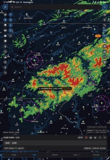
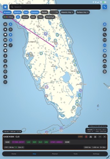
Terrain colors and relief on this page describe a planning and visualization aid. They are not a certified warning system, navigation source, or avionics replacement. Pilots remain responsible for approved information and operating decisions.
Aeronautic is for the whole flight: the route in the air, the airport at the end, and the terrain and places that make a backcountry trip worth taking.