Detailed cartography
Chart texture, relief, satellite imagery, airspace, and grids are rendered as one readable map instead of a stack of disconnected pictures.
Aeronautic brings detailed topography, weather, procedures, airports, and planning context into a map built for the way pilots actually think about a flight.
Built for pilots. The map is the product surface. Planning, weather, procedures, and airport intelligence stay in view instead of sending you through disconnected pages.
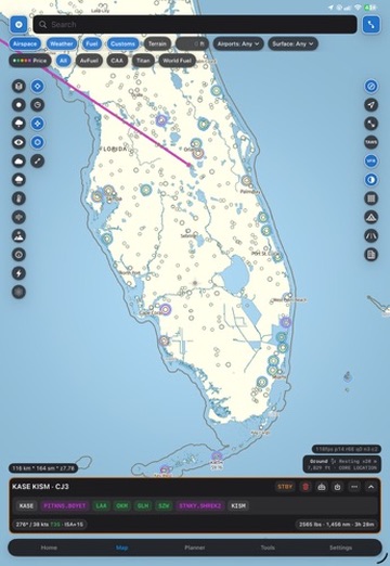
The same surface can carry a sectional, an IFR view, terrain, weather, a route, and the airport information that makes the route usable. Each layer adds context instead of taking you somewhere else.
Chart texture, relief, satellite imagery, airspace, and grids are rendered as one readable map instead of a stack of disconnected pictures.
Find routes, stops, procedures, winds, and airports while you can still see the geography that makes the decision matter.
Airport facts, weather, NOTAMs, handlers, and planning utilities are organized around the places and legs you are actually flying.
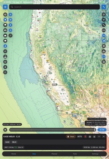
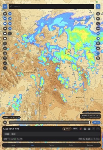
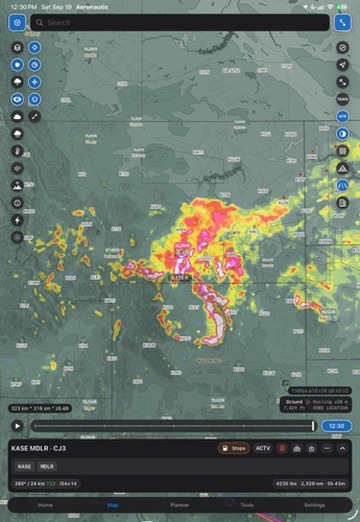
Level II Doppler radar brings sharper operational weather context to the map, with faster delivery of critical weather and lightning data. Adjust the tilt angle to inspect the system from the view that makes the decision clear.
Read reflectivity and storm structure with the detail needed to distinguish a passing shower from a route-changing cell.
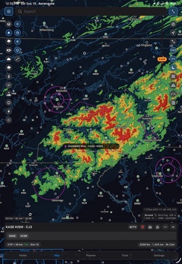
Keep lightning and critical weather layered over the same terrain, route, and airport context you are already using.
Change the radar tilt angle to explore the volume around a storm and see beyond a single flat slice.
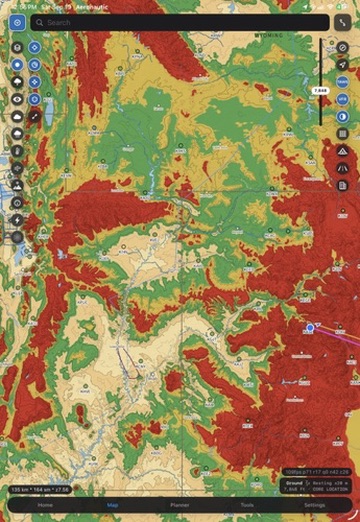
Altitude-relative terrain coloring, shaded relief, and chart context help pilots see the shape of the country around the route. It is a planning and visualization aid, not a certified warning system, navigation source, or avionics replacement.
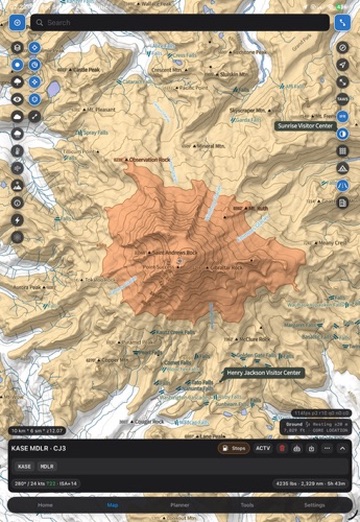
Backcountry flying asks different questions. Aeronautic pairs a detailed topographic basemap with trail and point-of-interest detail, public-land boundaries, and the terrain context that helps pilots understand the places between airports.
Contour, relief, and terrain shading make the shape of the country legible at the scales pilots use to explore it.
Find trails, campgrounds, strips, and other points of interest alongside the route instead of searching for them separately.
Use public-land boundaries and detailed land context to understand what is around an airstrip, route, or backcountry destination.
Explore the backcountry direction. See how Aeronautic is bringing richer ground detail to pilots who leave the paved corridor.